
Lares Trek Map | Awesome 1 Day Hike Via Huilquijasa Pass

- Created: December 22, 2021 1:00 pm
- Updated: June 9, 2023 4:20 pm
- Distance Instructions
- Travel mode
- walking
- bicycling
- driving
- straight-line


- Distance 13 miles
- Time 6 h 30 min
- Speed 2 mph
- Min altitude 10643 ft
- Peak 14459 ft
- Climb 3494 ft
- Descent 4528 ft
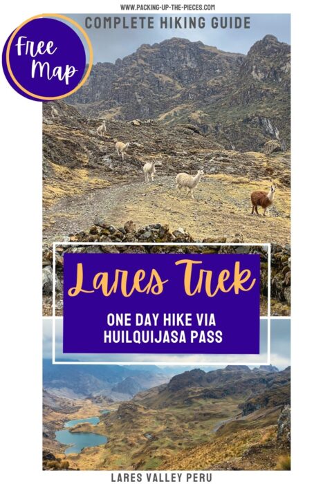

This is a basic overview of a one day Lares trek in the Lares Valley. This specific Lares trek map shows the route from the trailhead near the village of Quiswarani, crosses the Huilquijasa Pass, goes to the village of Cuncani, and finally ends at the Lares hot springs.
In the village of Calca, a hub in Peru's Sacred Valley, simply hop in a collectivo in the direction of Lares. Twist through the scenic valley, past the hilltop Ancasmarca ruins and exit at on the road at the village of Quiswarani. This village is less than 5 miles before the village of Lares.
⁉️ If downloading the map, please verify that the map is correct and follows the waypoints. Oftentimes, there are daily updates to the site, map platforms, and other external issues that may cause a bug in downloading. Be mindful that this map is solely for entertainment purposes. See my full disclosure here. Always hike responsibly and respect the mountains by following a no-trace philosophy, avoid hiking alone, be conscious of the weather and personal limitations, and do not stray from the visible trail
Lares Trek Map Day Hike Logistics
🚗 Collectivo Logistics | Calca to Quiswarani | Cost: 10 PEN ($2.50 USD) | Duration: 1 hour 25 minutes | Collectivos depart when full | Collectivos run from 6:00-18:00 | Last bus from Lares to Calca is 18:00!
- Point to Point Trail
- Trail begins at the road that leads to Quiswarani and finishes at Lares
- Difficulty: Moderate, the trail is not always visible, the altitude is tough, and the distance makes it a long day trek
- Distance: 13.25 miles
- Excursion Duration: This Lares trek will take all day, especially with the long collectivo ride to the trailhead.
- Leave early, this will be a long day trip without much shade coverage
- This hike can be complete anytime of the year
- Remember, during rainy season the trails can be muddy and slick and the weather always unpredictable
- Day Hiking Essentials
- First-Aid Kit
- Plenty of Water & Water Filter
- Offline Lares Trek Map
- Snacks & Picnic
- Trekking Poles for the ascent
Quiswarani to Huilquijasa Pass
Exit the collectivo on the road and head towards the village of Quiswarani. From a distance, you should be able to see the "seven waterfalls," which is part of the Hatun Queña conservation group.
Look for the soccer field. You will need to start the uphill climb behind it. The trail isn't so clear, so it's best to ask the villagers. Walk on the hillside past alpaca and the mountains.
Soon, you'll climb to the first alpine lake. It is important to walk close to the lake and look for the trailhead behind it. This actual Lares trek map shows that we detered from path and lost the trail and time. STICK CLOSE TO THE LAKE.
Begin the climb up to Huilquijasa Pass. You'll have stellar views of the lake behind you as you climb to the highest point of the trek.
At the top of the pass, there are incredible views of the lakes below.
Quiswarani - Huilquijasa Pass | almost 4.5 miles | +/- 2 hours including getting a little lost and veering from the correct path
Huilquijasa Pass to Lares
After appreciating the views, start on the clear downhill. Follow along the stunning lakes and keep them to your left. The landscape feels like something out of Jurassic Park.
The path eventually comes to a stream, which you'll have to cross. You should see in the distance the village of Cuncani. There is a gravel road, but instead take the footpath down to the village. From here, turn right and walk along the gravel road that follows along the stream.
It's possible to wave down a passing collectivo if there is space on the way to Lares. Otherwise, it's a 5 miles walk from the village of Cuncani past the Tambo Huaylla community to the parking lot of the Lares hot springs.
Huilquijasa Pass - Lares | 8.75 miles | +/- 4 hours
Relax in the hot springs, or walk into Lares village. If the collectivos are still running, catch one back to Calca. Otherwise, there are a few small and no frills guesthouses to sleep in Lares.
More Details About This Lares Trek Map
Find more information, tips and tricks, photo inspiration, and details that accompany this one day Lares trek map in the blog post below:
One Day Lares Valley Hike without a Tour
More Cusco & Sacred Valley Resources
- The Ultimate Cusco and Sacred Valley Itinerary for One Week
- Unique & Best Cusco Itineraries from 3 days to 1 Month
- 23 Spectacular Things to Do in Cusco
- Where to Eat in Cusco Peru
- Visit the Cusco South Valley
- All the Awesome Things to Do in the Sacred Valley
- 35+ Peru Inca Sites You Have to Visit
- How to Visit 16 Sites of the Cusco Tourist Ticket without a Tour
- The Ultimate Guide to Urubamba Peru
- The Best Things to Do in Ollantaytambo Peru
- 32 Landmarks in Peru to Visit
Hikes in the Nearby Sacred Valley
- Pisac
- Urubamba
- Maras
- Calca
- Chinchero
- Ollantaytambo
- Pachar