
Detour to Castro Lupario Hike Map
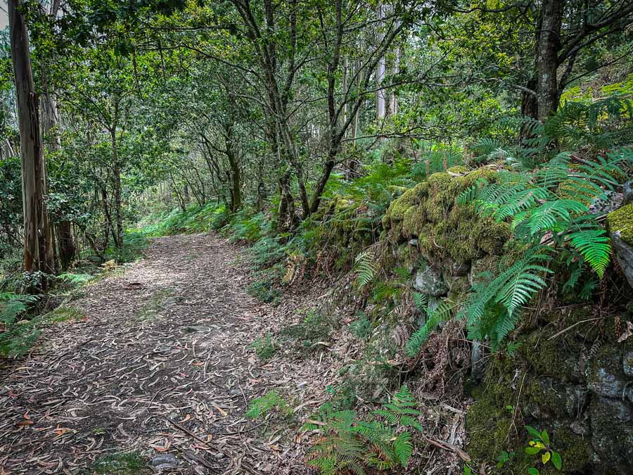
- Created: November 17, 2023 1:30 pm
- Updated: April 2, 2024 4:05 pm
- Distance Instructions
- Travel mode
- walking
- bicycling
- driving
- straight-line


- Distance 1 miles
- Time 2 h 30 min
- Speed 0.0 mph
- Min altitude 207 ft
- Peak 456 ft
- Climb 338 ft
- Descent 151 ft

This is a quick overview of how to hike up Castro Lupario, a detour route on the Camino Portuguese. Included, find a basic Castro Lupario map to hike to the top of the hillside from the Teo Albergue.
This Castro is said to be the remains of the mythical Queen Lupa, a Pagan Queen who was said to reign over the Finisterre region of Iberia Spain. She plays a large role in the story of Saint James, whose disciples were frantically searching for a place to bury his body in Iberia.
The trail is fairly straightforward once you find out how to merge off the Camino de Santiago Portuguese Way. Follow through Rúa de Francos and walk on the road past house #56.
Continue on the road where there is an official signboard in the park with Ponte dos Mouros. Make sure to cross over the modern bridge of Ponte de Paradela and then turn left. Look for the signboard that points to the Castro. The hiking trails are quite lovely and are a highlight of visiting the ruins.
Many pilgrims skip this detour as it's on the final stage into Santiago de Compostela. To hike to Castro Lupario it's best to stop in Teo, less than 15 KM to Santiago. Sleep in the Teo Xuna Albergue and spend the afternoon hiking up the hillside, exploring what's left of the site, and end the hike relaxing at the inviting park next to Ponte dos Mouros.
Here is the out-and-back Castro Lupario Map for this detour on the Camino Portuguese.
⁉️ If downloading the Castro Lupario map, please verify that the map is correct and follows the waypoints. Oftentimes, there are daily updates to the site, map platforms, and other external issues that may cause a bug in downloading. Be mindful that this map is solely for entertainment purposes. See my full disclosure here. Always hike responsibly and respect the mountains by following a no-trace philosophy, avoid hiking alone, be conscious of the weather and personal limitations, and do not stray from the visible trail
Castro Lupario Map Logistics for Out & Back Trail
- Out & Back Trail
- This map follows the out-and-back trail from the Xunta Teo
- Official Trail Markers: The route does have yellow and white rectangles (Blazes), with some wooden signboards.
- This local trail is part of a larger loop trail: Ruta do Castro Lupario Rois -Brión in Ponte Paradela
- Difficulty: Moderate, it's towards the end of the Camino Route so it doesn't seem so tough
- Some stretches of the trail are not always clearly marked at the top
- The trail is sometimes stoney and can be extremely slippery in the rain. Take care with your ankles and knees
- Distance Teo Albergue to Castro Lupario One-Way: Around 1.25 Miles (2 Km)
- Distance Out & Back: 2.5 Miles(4 Km)
- Excursion Duration: +/ - 2 hours, depending on how much you wander the site
- This trail is best to hike during the summer and shoulder seasons. Winter in Galicia can be extremely wet, rainy, and windy and it's not recommended to climb during bad weather. There is quite a bit of shade on the trail and a small section provides a reprise from the sun.
- Essentials for Visiting Castro Lupario
- First-Aid Kit
- Small Day Hiking Backpack
- Water in a Reusable Water Bottle
- Trekking Poles if you love them
- Hiking Boots or trail runners
- Offline Castro Lupario Map from some source
- Extra Battery Pack for electric devices
- These are all items included in my Camino Packing List
Castro Lupario The Fortress of Queen Lupa
This is a basic Castro Lupario Map on how to hike up to the ruins. Many myths and legends surround this site. For the complete hiking guide, photo inspiration, and more on the legends, read the complementing blog post:
Visit Castro Lupario the Mythical Fortress of Queen Lupa
More Camino Portuguese & Galicia Guides
- The Ultimate Porto Pilgrim Guide
- The Ultimate Guide to the Camino Variante Espiritual on the Camino Portuguese
- How to Plan & Walk the Incredible Camino Finisterre Muxia
- Visit Muxia A Special Fishing Village in Galicia
- Visit the Cascada de Ezaro near Cee Spain
- Why Cee Spain is Worth Visiting
- Hike Monte Pindo the Most Mythical Mountain in Galicia

1. Teo Albergue

Teo Xunta Albergue | 10€ | No Reservations Allowed | Credencial Required
2. Stone Cross
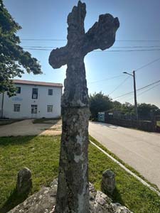
One of the oldest stone crosses in Galicia on the Portuguese Camino
3. Road
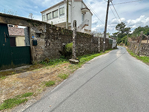
The detour continues on this road near House #56
4. Ponte dos Mouros

Stone Bridge Ponte dos Mouros
5. Signboard
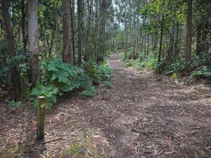
Wooden Signboard to Castro Lupario
6. Castro Lupario

Large open area with views, old wall, and scattered stones